
VIDEO | PHOTOGRAPHY | TWILIGHT
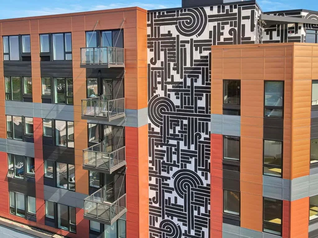
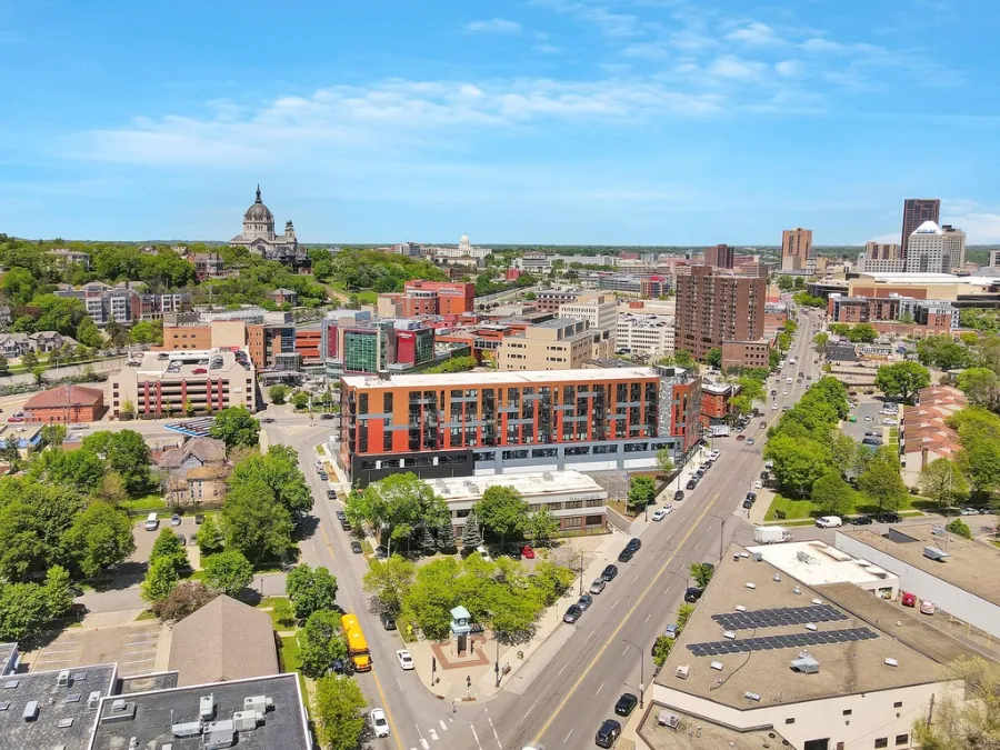
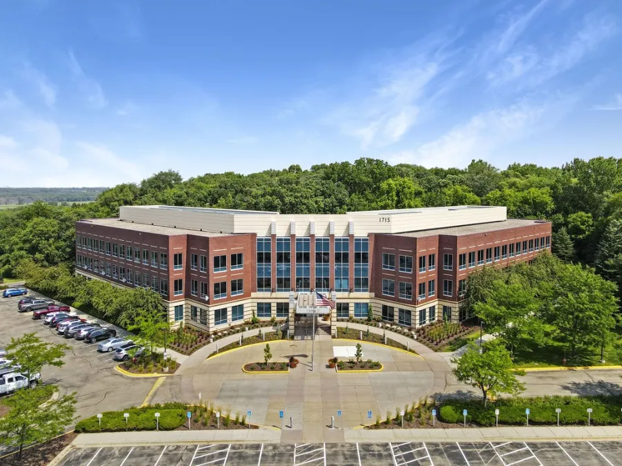
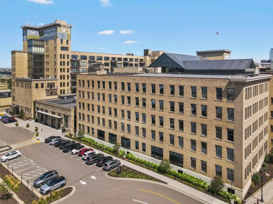
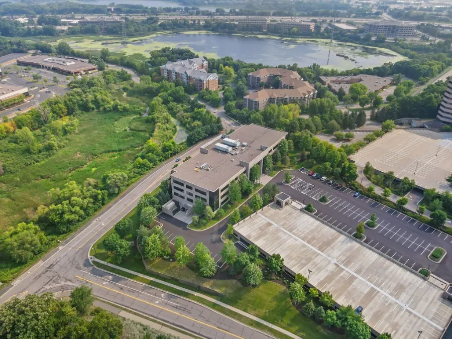
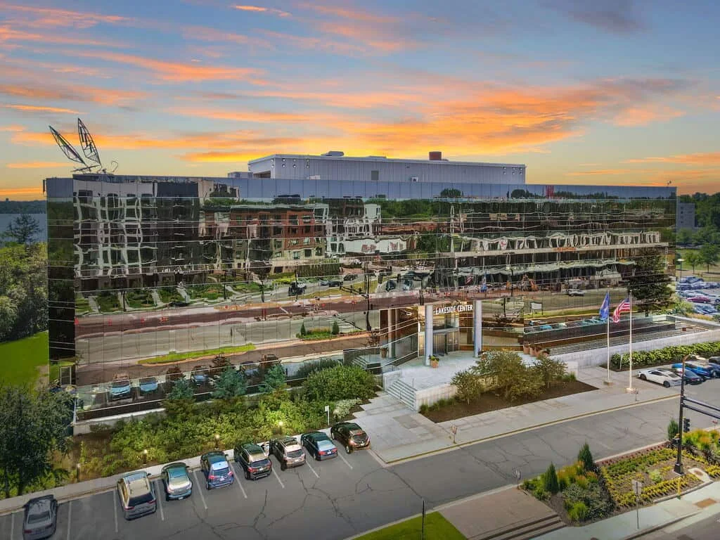
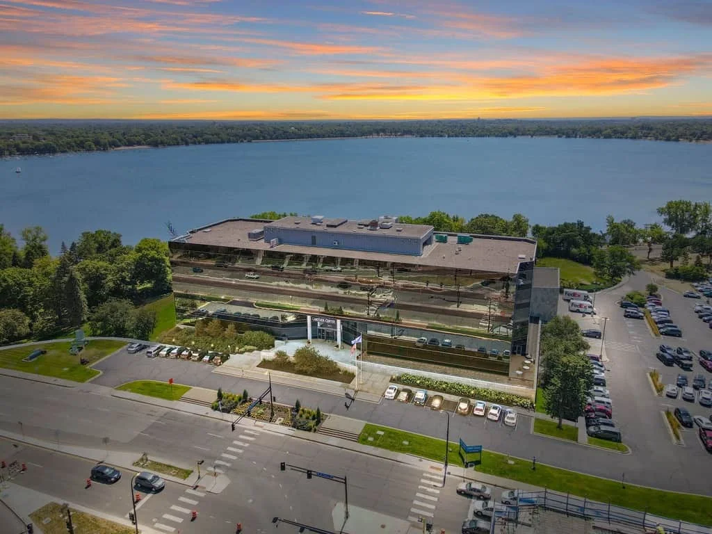
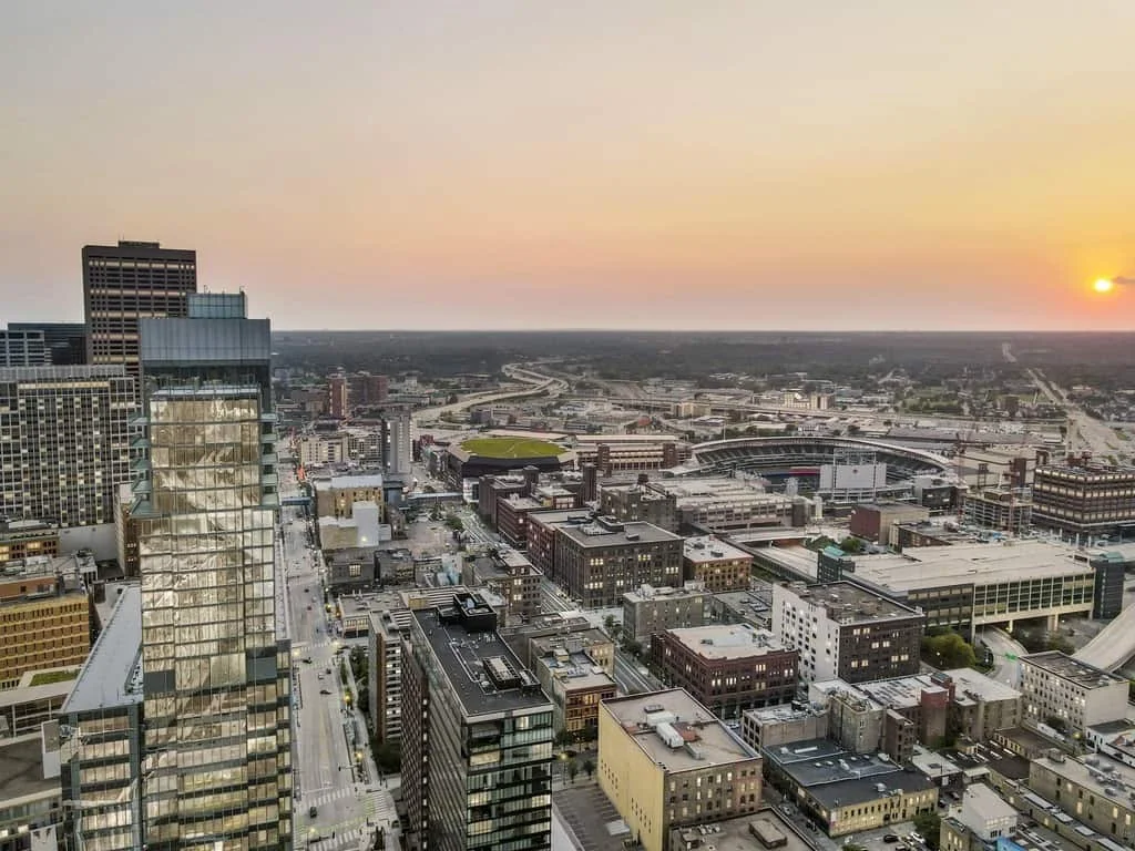
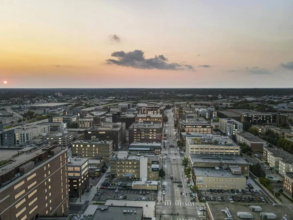
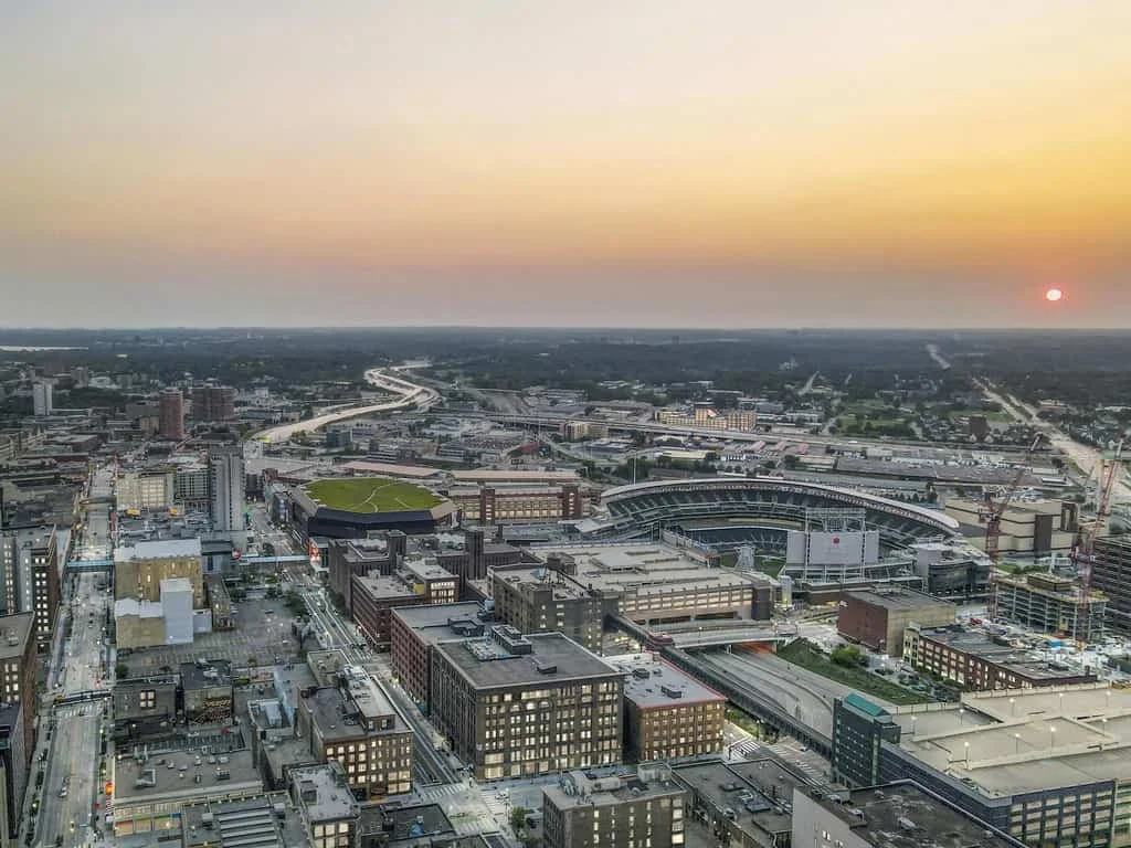
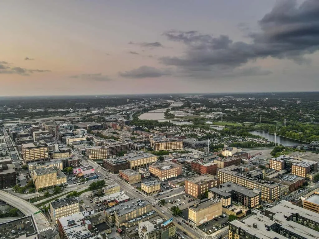
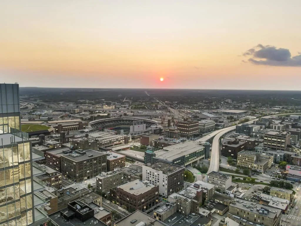
Entrench stakeholders in your commercial project’s surrounding amenities with bird eye views. Highlight landmarks, access points, exterior design, and building size.
Add callouts and infographics with motion graphics and map animations.
Sell your project vision and showcase exteriors.
Our aerial drone videos focus on surrounding amenities such as landmarks and features, property size and exterior design, and localities. We add special effects that callout and identify nearby attractions: motion graphics, map animations, callouts, and infographics.
Aerial drone videos highlight as selling points for broker listings, Request For Proposals for architects and designers, and city proposals for developers.
Create immersive broker listings and streamline architects, designers, and city RFPs.


Ensure accuracy, streamline productions, and deliver high-quality communications. From laser scans to 3D renderings, Content Studios’ talents, techniques, and tech build key feature narratives to instantly connect.
Challenge
When Thomson Reuters sought to downsize from a sprawling 180-acre headquarters to Class A office space with modern amenities, brokers turned to Content Studios to support the simultaneous transitions.
With a series of Aerial Drone, Showcasing, and Employee Promotion Videos, both transactions were completed on schedule with employee buy-in and anticipation.

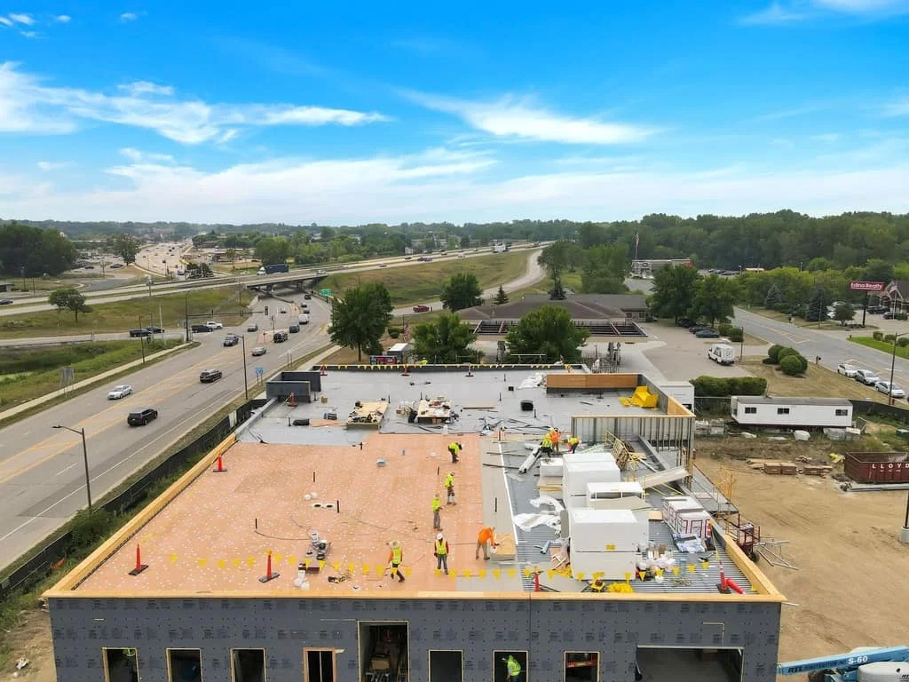
Accelerate and realize your commercial project goals for each plan, build, and list phase of commercial real estate.
Start with a single-phase project or develop a comprehensive multi-phased visual communication plan that reduces duplication and increases project understanding and engagement.
Drone photography is safe and legal. Drone photographers are FAA-certified and comply with all FAA regulations and restrictions.
Our FAA-certified drone pilots fly up to 400 feet to capture high-resolution images.
With offices in New York City, Content Studios works nationwide.
You do not need to be present for productions unless you prefer to be at the property. If it’s your first production with Content Studios, our professionals are happy to meet you on-site.
Weekend productions should be requested 5-7 days in advance.
Capturing ideal conditions and lighting, as well as maintaining consistency, is important to every project. We will take sun and weather into consideration when scheduling, monitor the weather as the shoot approaches, and reschedule if necessary.
Add music, callouts, transitions, motion graphics, infographics, and map animations to any aerial drone video. Allow for three editing cycles to finalize and deliver.
Common aerial drone photo enhancements are straightening, white balance, sharpness, tone, and distortion corrections; room, lawn, water, and fireplace removals / additions; and sky, furniture, and TV replacements.
Allow for 5 – 7 business days for delivery after production.
When your content is finalized, we will send you a confirmation email with a download and payment link containing all content assets for your property.
“I loved working with Content Studios. Kevin is super responsive, professional, and personable. The showcase drone video and HDR photography were stunning and timely.”
– Isabelle Schwarz, Duraroof Construction